
Matt and Jo on Flyinn Vacation — North Bound
Crossing Cook Strait, learning Te Reo radio calls and making an Air New Zealand jet wait: Jo's flycation continues north to Kerikeri.
26 April 2022
Still buzzing from D'Urville airstrip, I smile wide enough to catch Matt's attention, “You liked that?” “I loved it” I replied. Then frown, “Except for the part where you changed my approach.” “You did well and shouldn't worry so much.” Matt dismissed. Was my ego dented or did I have a point? I didn't know. So settling to the job at hand, I concentrate on the still blue peacefulness ahead.
Radar flight following is readily available for VFR traffic crossing Cook Straight. Otherwise, this service is rarely, if ever, used by VFR traffic in NZ. We radio our request and level off at the highest allotted altitude. I'm pleased someone is following our progress. We're wearing life jackets, know the weather is favourable, and that our aircraft is well maintained. Although I find myself listening intently to our engine, and also know I will be more relaxed again once over land. Soon the welcome south Taranaki coast becomes distinct, curving around symmetrical Mount Taranaki in the west and continuing in a long flat arc to the southeast, all the way to NZ's capital city Wellington at the southern tip of the island.
Whanganui airfield is on the coast, at the river-mouth, and bordering a sizable township of the same name. Soon a local radio call would be required, but — how will I pronounce this place? Typical of my generation and southern upbringing, my pronunciation of our native language was abysmal. Because Maori “Te Reo” (language) was now used in almost every public forum throughout the country, incorrect pronunciation was less acceptable. Our destinations would be in areas with high Maori population and it felt disrespectful to speak poorly, so I resolve to make a small start with this place name, and to keep practising Te Reo for the rest of our trip.
“Whanganui ('Wh' = 'f' and soft 'g') Traffic, Whisky Alpha X-ray is 10 miles to the south. Approaching to join the circuit.” It was time.
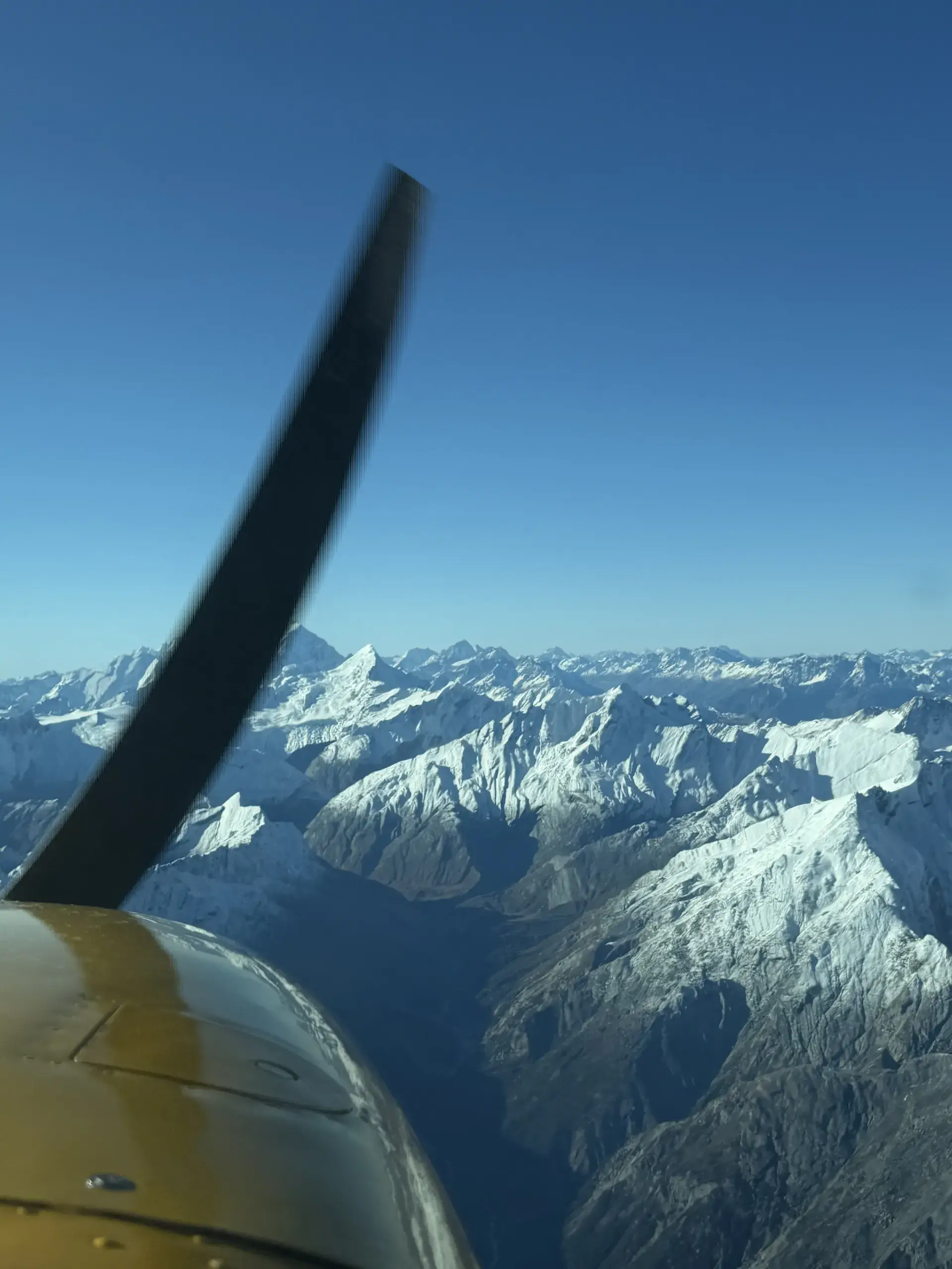
With full fuel tanks, the comfort stop set us up well for the 2.5 hours to Raglan Airfield for quick lunch, then on to Kerikeri our destination in the far north. The scattered cloud was high allowing our track to continue north, following the Whanganui river's meander until we could rejoin the coast. Contrasting the sedate river flow, the inland countryside is rugged and each ridge looks the same. I'm thankful for the iPad cross-reference for position reports. Sunshine and green farmland greet us as we leave the rugged bush behind. We climb to a comfortable cruising altitude and continue north. Landmark inland volcanoes of Mount Ruapehu and Tongariro rise above the distant eastern landscape.
Next stop, Raglan. A popular holiday and surfing destination. The lush green airfield is beautifully maintained and runs perpendicular to the coast. Often used by locals walking dogs or making their way to town, a low run over the strip is sometimes necessary to warn of imminent arrival. Today's sea breeze means our landing will be coastward with the final approach over a small hill supporting town houses and some distracting tall trees. Despite Matt's instructions, I'm too high on final approach (houses and trees seemed close!) A steep descent brings the usual landing profile into view. We park and enjoy the lovely walk along the river, over the bridge arriving in the middle of town. It's the weekend and the place is vibrant with families picnicking by, or swimming in the river, surfers on the beach, even the little main street shops and cafes are busy.
Finding a sunny spot with a table to spread the map, we proceed to plan the last stage of today's long flight over lunch. Unlike the south, there is little twilight in the north. It is dusk, then it is dark. We had to be mindful of ECT.
From Raglan our coastal track would continue until well north of Auckland and huge Kaipara harbour before veering east in search of the east coast as the island narrows and northland appears. This fertile area and warmer climate supports intensive horticulture, and we noticed tree-lanes forming shelterbelts for the citrus, kiwifruit, and more recently banana plantations. A very different look compared with livestock farming.
As light softens to an evening hue, our destination is close and we radio our intention to join, and again as we are about to join the circuit. Immediately an Air NZ domestic flight announces his intention to taxi. Hmmm, what should I do? Go away and let him get on with it? Or continue which means he has to wait. I look to Matt for help — what's the best plan here? “You have the right of way, you decide.” Well, it's been a long day, I don't know this area and I don't want to delay, so radio intention to continue downwind — and thought I could hear the sigh in the AirNZ Captain's voice when he returned he was holding on the apron. Tired and feeling stressed, I misjudged the runway's initial downhill slope and glided well past the threshold, landing gracefully at a point which meant a long back-track was required before I could exit the runway. Making matters worse the domestic jet was parked facing my taxiway and I had to taxi around the imposing Air NZ jet. Embarrassed now, I didn't know whether a radio apology would help things, so scurried past with my head and tail low.
Sorry! It's been a wonderful day, but a long one. And there's always something to improve on after a flight like that. Well — maybe there's a list.
We tie WAX down to pegs hammered well into the soil. The plan is to stop here for a few days, visit friends and enjoy an area we last visited on our honeymoon — 30+ years ago.